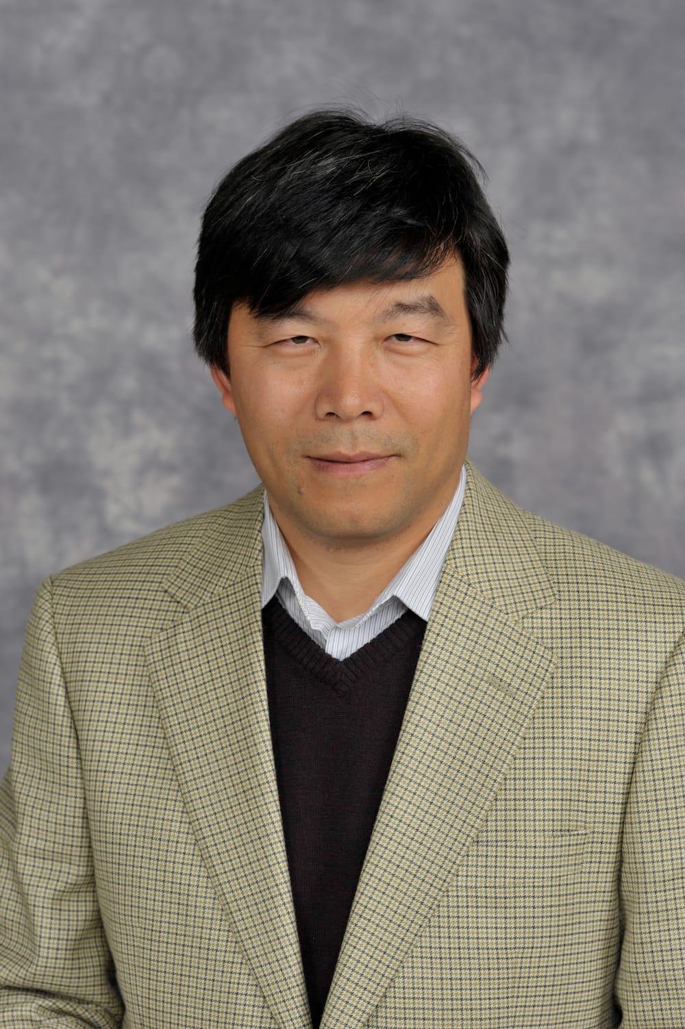
From Kenneth G. Furton, Provost and Executive Vice President - April 13, 2021:
It is with great sadness that I inform you today of the passing of Dr. Keqi Zhang, professor in the Department of Earth & Environment and Director of the Laboratory for Coastal Research in the International Hurricane Research Center (IHRC) at Florida International University. Dr. Zhang was an expert in natural hazards and their effect on coastal environments. His research focused on coastal responses to sea level rise and storm impact, remote sensing, storm surge modeling, and the mapping of coastal hazards using geographic information systems.
Dr. Zhang completed his Ph.D. in coastal geomorphology at the University of Maryland, College Park, in 1998. His dissertation research resulted in many refereed journal articles, including several that for the first time demonstrated a quantitative link between sea level rise and beach erosion—now a basic principle in coastal geomorphology and engineering.
He began his FIU career in 1998 where he conducted important work on coastal processes, including utilizing airborne laser technology (now termed LIDAR). Dr. Zhang led the research team that first mapped hurricane storm surge-prone areas in South Florida utilizing the new LIDAR technology. He developed a new storm surge model (Coastal & Estuarine Storm Tide or CEST) that is currently used by the National Hurricane Center in their forecasts and by emergency managers. Dr. Zhang had the technical expertise, intellectual capacity, and dedication to develop state-of-the-art algorithms to process LIDAR data to obtain highly precise ground elevations, greatly increasing the accuracy of storm surge models.
Dr. Zhang innovatively utilized the new technology of ground lasers to determine the surface roughness of vegetation and buildings, thus making a major advance in understanding the deterioration of hurricane-force winds over land. He also pioneered the use of this technology in ecological studies, resulting in many theses and journal articles. One of his articles on morphological filtering now has over 1,022 citations.
Keqi was a friend, colleague, and mentor to many during his 23 years at Florida International University and to the larger coastal science community. Keqi was a wonderful collaborator. Students and colleagues who had the opportunity to work with him learned much from his rigorous intellectual approach as well as his excitement for understanding coastal processes.
Jaime Rhome at the National Hurricane Center eloquently stated that “Keqi was like a lighthouse in a storm, his ability to guide, inspire, and infuse hope was strongest during the COVID pandemic despite his long-term battle with cancer. In a true testimony to his dedication and vision, Keqi’s work will continue through his students and partners, ensuring an everlasting legacy.”
He was a loving husband and a caring, proud father of two wonderful children—his daughter, Michelle, graduated from Stanford University with a BS degree in Computer Science and a master’s degree in applied mathematics, and his son, Matthew, is studying Computer Science and Economics at Yale University.
Research Areas
Over the last four years, IHC researchers have acquired a large amount of LIDAR data along the Florida Atlantic, North Carolina, South Carolina, and New York coasts. Dr. Zhang has been involved with airborne LIDAR mapping since 1999. Specific research includes:
- Development of algorithms to automatically identify ground and non-ground points and to extract three-dimensional shapes of buildings and trees from airborne LIDAR (Light Detection And Ranging) measurements
- Development of
high resolution - Development of georeferenced, three-dimensional, visualization and animation platforms for hurricane-induced flooding and wind damage
- Analysis of long-term and storm-induced beach erosion using shoreline position data from LIDAR measurements, field GPS surveys, aerial photographs, and historical maps
- Examination of
long-term trend and interdecadal variations in the number and severity of coastal storms using hourly water level records from tide gauges.
Education
PhD University of Maryland, 1998
