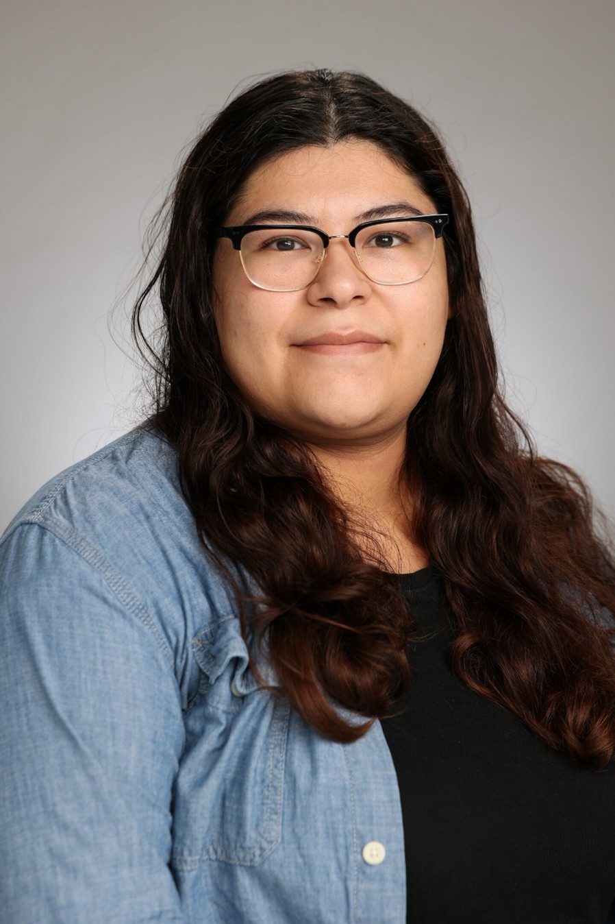
Selena Chavez is a remote sensing and geospatial scientist with a Ph.D. in Earth Systems Science from Florida International University and is currently a postdoc in the Geodesy Lab at Florida International University. Her work focuses on remote sensing, GIS, and environmental change, with expertise in analyzing satellite, lidar, and carbon flux tower data so monitor changes of mangrove in the Everglades. She has over seven years of experience researching coastal ecosystems, particularly mangrove resilience to climate disturbances. Selena is passionate about using geospatial tools to support sustainability and conservation as well as advancing geospatial education.
Selena Chavez
Postdoctoral Associate
Earth and Environment
